These Use Cases are for example only. There is almost infinite ways to use your Android Smart Altimeter. We will be happy to hear your preferred ones: write us at smartaltimeter@gmail.com.
Very simple: just discover your altitude and have a look how it changes over time !
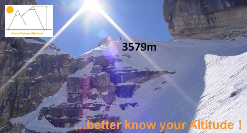
Take Android Smart Altimeter with you ! You’ll be able to know your current altitude anytime and everywhere.
Having your altitude displayed in a graph chart for real time checks will enhance your outdoor experience.
Remember it is better to calibrate your Android Smart Altimeter at your starting point !
Evaluate your performance: your vertical speed (VS) matters…!
The Vertical Speed (VS) is a value provided by your Android Smart Altimeter, calculated as average over last 10 minutes, measured in meters per hour (m/h).
Take the chance to measure yourself and your performance, bring your Android Smart Altimeter with you and identify your typical, average Vertical Speed (VS). This is useful to enable other use cases and improve your outdoor experience !
The Vertical Speed (VS) you measure will be just a reference value for you which you will have to consider to better plan your trips outside or with the objective to improve it by training and practice.
Plan your hiking with Android Smart Altimeter: get to the top on time !
When you outdoor in the nature, it is important that you have a clear planning of your journey. This is to avoid unpleasant situations and reduce risks at a minimum when you are in the field.
A good planning can be done if you know for example your starting point altitude, your destination altitude and your typical Vertical Speed.
In this way you can calculate your minimum required time to perform your activity:
Minimum Required Time = (starting altitude - destination altitude) / VS
Add a safety margin to it and decide for proper departure time. Please also consider additional details like weather forecasts, correct dressing etc. which are not covered here.
Record details of your journey by using Android Smart Altimeter Altitude Waypoint feature.
During your activity outdoor you will find points of interest, like the top of a mountain or mountain features, lakes, panorama views or refuges, which you will like to take a remark about. We call them Altitude Waypoints. This is a wording derived from navigation systems.
Smart Pressure Altimeter gives you the opportunity to record the Altitude Waypoints details in a text file for following reviews.
Have a look to the ALTITUDE WAYPOINT RECORDING chapter within the User Guide
If you are a skier or mountain-biker, have a look to the shape of your preferred slopes !
When you run down by ski or mountain bike from your preferred slopes, take the chance to have your Smart Pressure Altimeter with you and record your altitude data within a text file: have a look to the ALTITUDE DATA RECORDING chapter within the User Guide for additional details.
You will have the opportunity to review your descent timing afterwards and perhaps display it in a graph chart altitude-over-time by your own software tools.
Download Android Smart Altimeter and improve you outdoor experience now !

Contact: smartaltimeter@gmail.com